Terrain Map in Travel Animator
 Jaseel S6 min read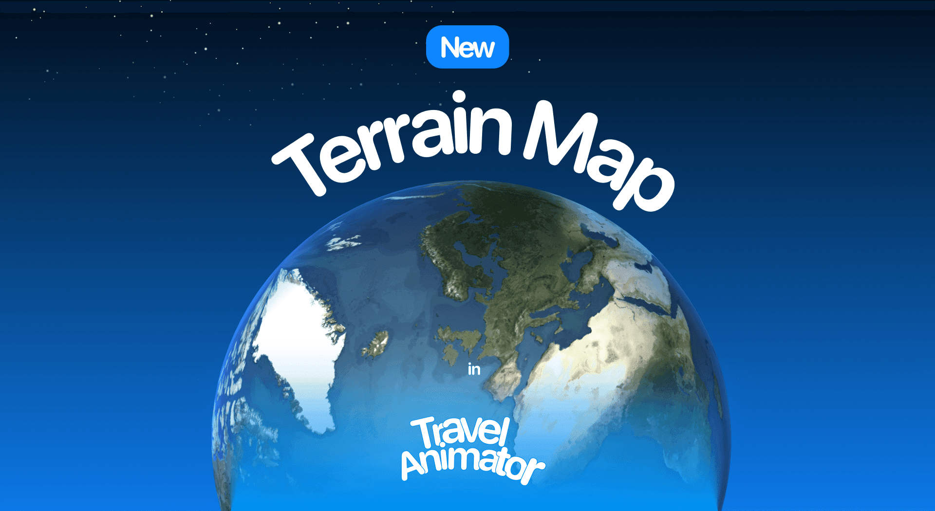
In this article 8 sections
The Terrain Map is one of the latest map styles in Travel Animator, which can highlight both the ocean and topography. It adds natural details, such as hills, valleys, rivers, and forests, giving your route a more realistic appearance.
Whether you’re animating a mountain trek or a coastal journey, this map style helps your viewers understand the true landscape behind your travel story.
Explore the new Terrain map in Travel Animator and learn how to improve your video using the Terrain Map.
What Is the Terrain Map Style in a Travel Animator?
The Terrain Map in Travel Animator is a new map style that highlights the topography, the natural shapes of the environment. It adds a realistic landscape view to your overall animation through the map. It makes your travel animations more engaging by giving depth and context to your route.
Is the Terrain Map Style Free or Premium?
The Terrain Map Style is under the premium subscription. You need to upgrade to Travel Animator Pro to get every 2D and 3D map style, except the default map style. You can also use advanced models in your video and export in 4K quality without watermarks. You can create and save unlimited travel videos in the pro version.
For expedition routes with a tactical edge, the Military map style builds on the same terrain detail.
Steps to Use the Terrain Map Style in Your Travel Animator Videos
- Open the Travel Animator app and sign up for an email address.
- Upgrade to Travel Animator Pro and continue with your existing project or start a new one.
- Choose the locations manually or paste the Google Map link to get your real routes in Travel Animator. You can also upload a GPX file of your route.
- Change the travel model, add images and labels to personalize your travel animation.
- Preview the video and tap on the Map style to open the map menu.
- Change the map style from default to the Terrain map style.
- Switch to 2D or 3D from the top right of the screen.
- Adjust elements like model size, video duration, ratio, etc, from there.
- Export the video in HD or 4K quality and share the video on social media.
Who Should Use the Terrain Map Style?
- Vloggers can add cinematic depth to their YouTube videos and Instagram Reels by showcasing their route, which features various aspects of the Earth.
- Tourist boards can create engaging videos to attract visitors using the natural landscapes visualized on the map.
- Travelers can visually enhance their travel stories and make them more engaging by showcasing various features, such as water bodies, mountains, and forests, in distinct ways.
- Use the Terrain map in educational content to explain geographical topics with clear topographical visuals.
Terrain, Satellite or Cali Terrain: Which Should You Pick?
Travel Animator has a few map styles that show the natural landscape, and they suit different videos.
Terrain is the readable middle ground. It brings out hills, valleys, rivers, forests and the ocean as map detail, while still looking like a map. Your route line and labels stay easy to follow, which makes it a good fit for a coastal road trip, a national park loop or a geography lesson.
Satellite uses real aerial imagery and is the style that turns on 3D Elevation, so mountains physically rise and valleys dip as the camera moves. If you’re animating a steep trek and want the climbs to look like climbs, that’s the one to use. Our guide to 3D elevation for hiking animations explains which Scene Styles show it.
Cali Terrain uses earthy greens, browns and beige, so it feels warmer and more designed. See the Cali Terrain map guide if you want that softer look.
A simple way to decide: if viewers need to follow the route, start with Terrain. If they need to feel the landscape, try Satellite. Because the map style is changed from the preview screen, you can flip between them on the same project and compare before you export.
Tips for a Better-Looking Terrain Map Video
- Give the route line some contrast. Greens and browns can swallow a thin, earthy line. Under Path Color in the preview screen, pick a bright colour and go up to Medium or Thick so the route stays visible on a phone screen. See route line styles and colours for the options.
- Match the line style to the trip. A dotted line reads well for a hike, a solid line for a drive, and a dashed line for a ferry crossing or flight.
- Slow it down. The landscape is the point of this style, so a little more video duration lets viewers take in the valleys and coastline instead of watching a blur.
- Keep labels light. Terrain already has a lot of natural detail. Show the start, the end and a couple of key stops, and toggle the rest off.
- Try both views. 2D keeps a regional route like the Amalfi Coast clean and flat. 3D adds depth and works nicely for longer journeys across mountains or between countries.
- Smooth recorded tracks. If you imported a GPX file from a hike, turning on Smoothen Route removes the small zigzags that look messy against detailed terrain.
Ready to Tell Your Stories?
With a single click, you can flip your plain route into a beautiful route that feels connected to real landmarks. With this map, your videos can showcase the features of the land, such as water bodies, hills, mountains, and forests. It helps the audience to understand what kind of place you’re traveling through. This Terrain map makes your animation more real and interesting.
Upgrade to Travel Animator Pro to access this map with high-quality exports, free from watermarks.
Frequently Asked Questions
What Is the Terrain Map Style in a Travel Animator?
The Terrain Map in Travel Animator is a new map style that highlights the topography, the natural shapes of the environment. It adds a realistic landscape view to your overall animation through the map.
Is the Terrain Map Style Free or Premium?
The Terrain Map Style is under the premium subscription. You need to upgrade to Travel Animator Pro to get every 2D and 3D map style, except the default map style.
Who Should Use the Terrain Map Style?
Vloggers can add cinematic depth to their YouTube videos and Instagram Reels by showcasing their route, which features various aspects of the Earth. Tourist boards can create engaging videos to attract visitors using the natural landscapes visualized on the map.
Does the Terrain map show 3D elevation in Travel Animator?
Terrain shows landscape features like hills, valleys, rivers and forests as map detail. 3D Elevation, where the ground itself rises and falls, is tied to the Satellite map style. If you want climbs to look physically raised, switch to Satellite and use the Default, Follow or Lead Scene Style so the camera angle shows the height.
Why is my route hard to see on the Terrain map?
The map’s natural greens and browns can blend with a thin or earthy route line. Open Path Color in the preview screen, pick a brighter colour and increase the thickness to Medium or Thick. Hiding less important place labels and reducing the model size also helps the route stand out.