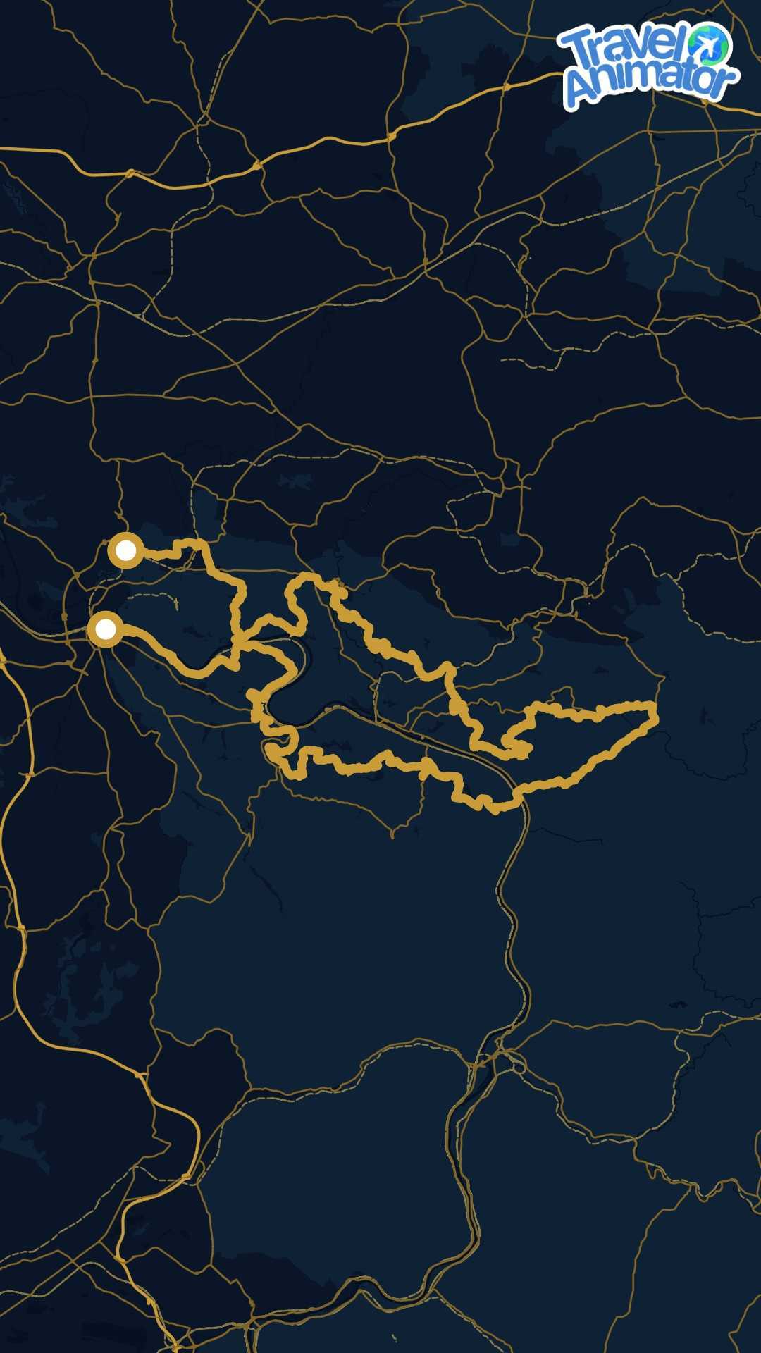
Malerweg
The painters' way, following the viewpoints where German Romantic painters once set up their easels, through the sandstone towers of the Elbe.
- Distance
- 114.7 km


Free downloads
Hand-picked GPX tracks you can download and use straight away — in Travel Animator, or in any app, watch or GPS device that reads GPX. No account, no sign-up.
The painters' way, following the viewpoints where German Romantic painters once set up their easels, through the sandstone towers of the Elbe.
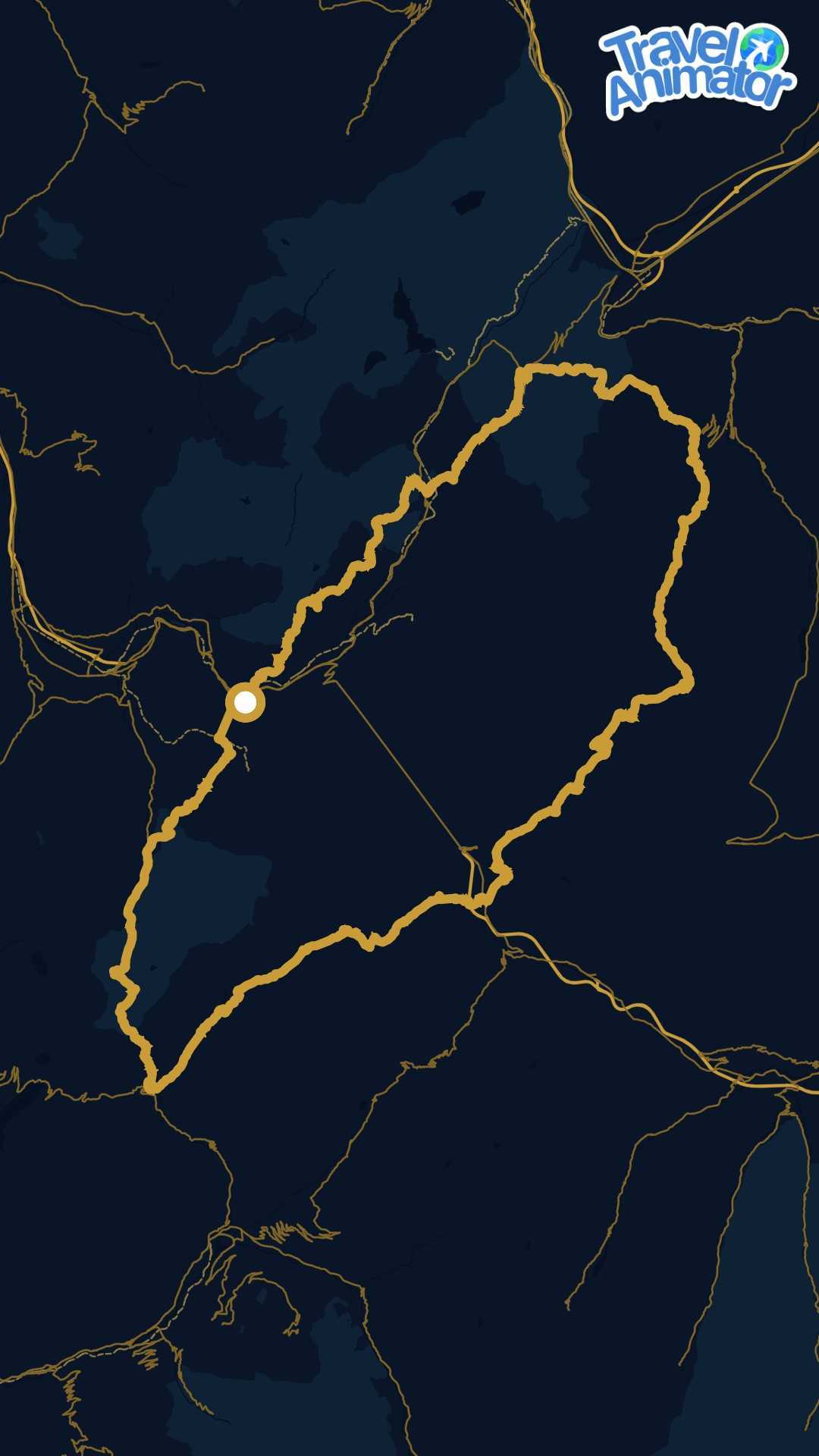
The most walked loop in the Alps: a full circuit of the massif through France, Italy and Switzerland, from pass to pass and hut to hut.
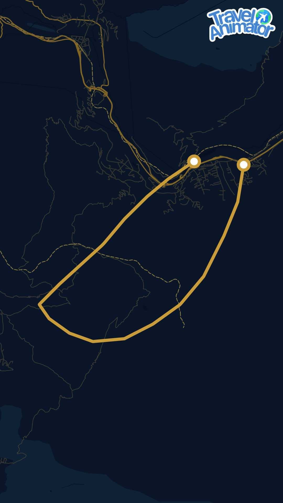
hiking
Chamonix valley, French Alps
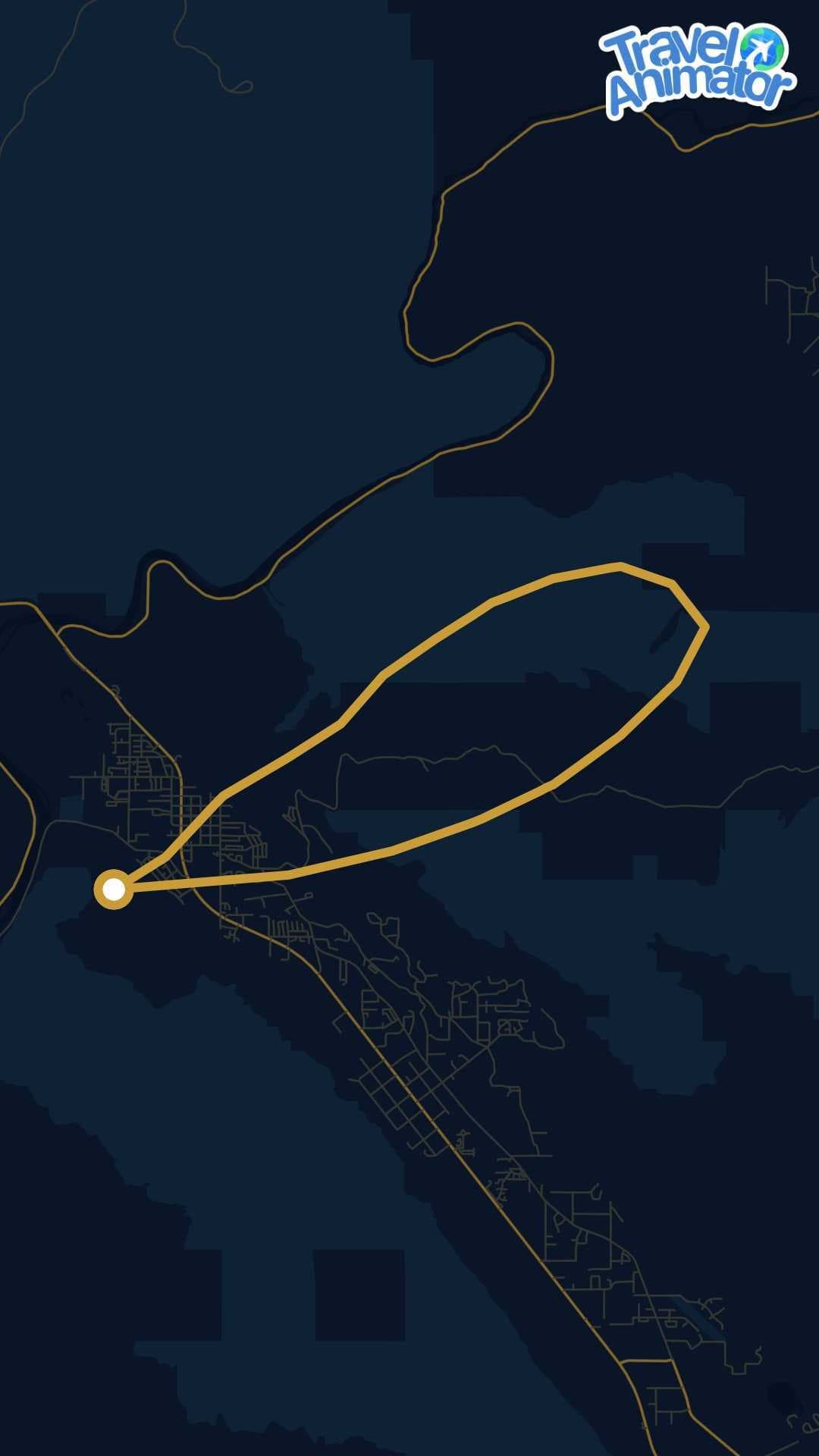
mountain biking
Sand Flats Recreation Area, Moab, Utah, USA
Download any route above. The file lands in your downloads folder, ready to open on your phone.
Open Travel Animator, start a new project and import the GPX file. Your exact track is plotted on the map, waypoint for waypoint.
Pick a map style and a 3D vehicle, then export in HD or 4K for Instagram Reels, TikTok or YouTube.
Plotting a route by hand instead? The travel map animation walkthrough covers the same journey — map styles, 3D vehicles and export settings — with no GPX file involved, and building a route from dropped pins is set out stop by stop.
GPX (GPS Exchange Format) is the standard way to store a route as a list of coordinates. It is what Strava, Garmin, Komoot and almost every GPS device export, which means a single file moves cleanly between apps — load it on a watch to navigate a trail, or into Travel Animator to watch the whole journey animate across the map.
The library currently holds 4 routes, the longest running 159.7 km. New tracks are added regularly.
GPX is the standard file format for a recorded route. It holds the ordered list of coordinates a GPS device or tracking app logged along the way, which is why a GPX track keeps the true shape of a trail — every switchback and detour — instead of the smoothed line a map app would draw between two points.
Yes. Every track in this library is free to download and use, with no account and no subscription. Open one on your phone, then import it into Travel Animator to animate it.
Download the GPX file, open Travel Animator and import it as your route, then choose a 3D vehicle and a map style, preview the animation and export it. The app follows the recorded track exactly, so the finished video matches the trail rather than an approximation of it.
Yes. Export a GPX file from Strava, Komoot, AllTrails, Garmin Connect, Wikiloc or any GPS watch or bike computer, and import it the same way. This is the fastest route to a video of a trip you have actually recorded.
No. GPX import is part of the free workflow, along with unlimited HD exports. Pro adds the full 300+ 3D model library, 30+ map styles, 4K export and watermark-free video, but nothing stops you animating a GPX track for free.