How TravelAnimator Creates a Stunning Globe View for Trips
 Jaseel S6 min read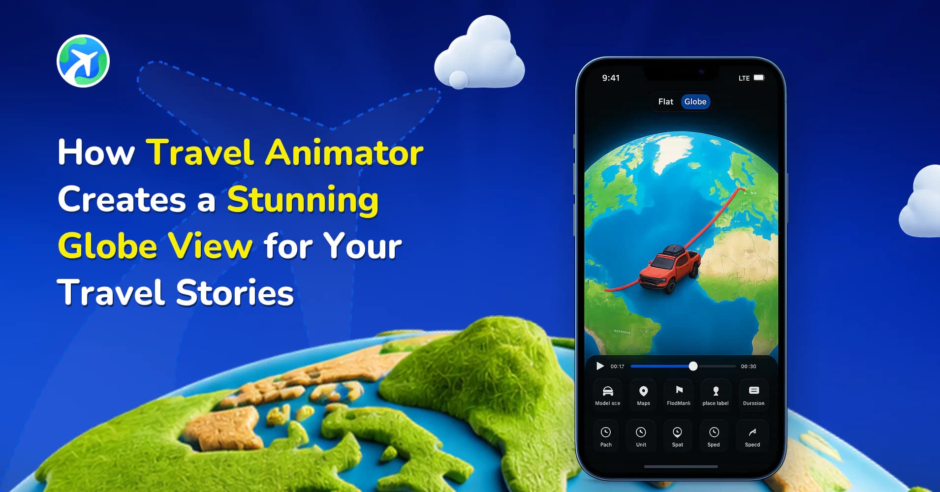
In this article 8 sections
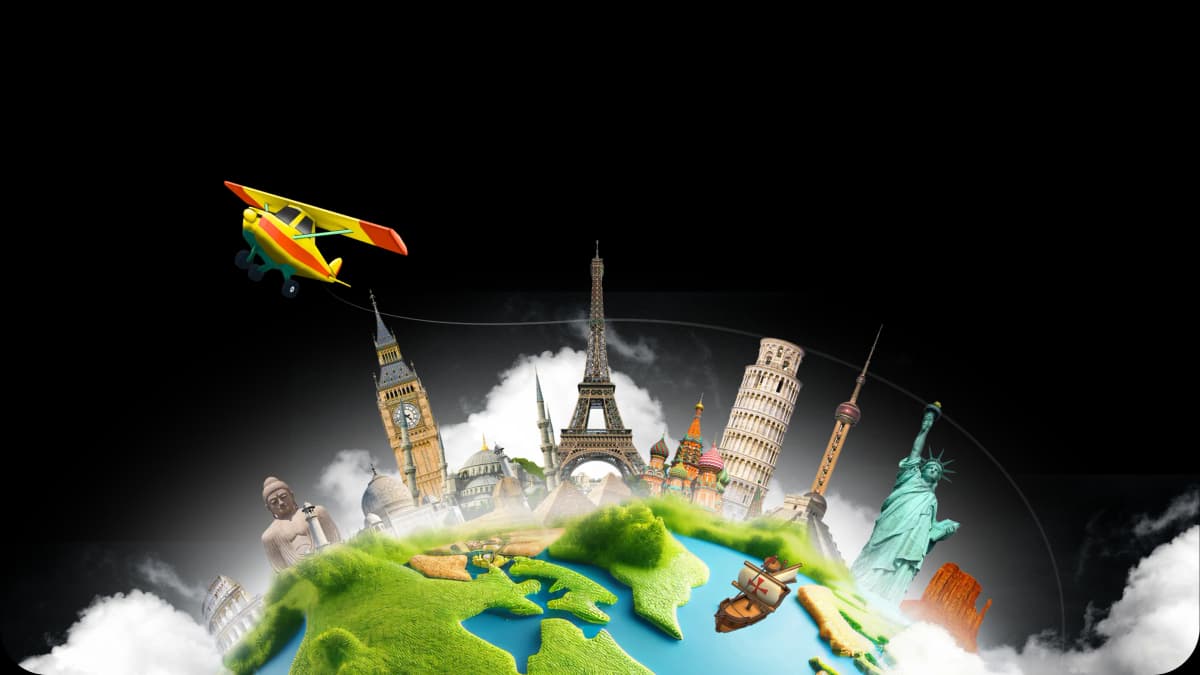
Travel Animator uses 3D maps to offer a globe-style visual experience of your travel routes.
Imagine you are creating the animation video of the longest flight in the world. You want to show the flight trip from one side to the other to show the distance and countries covered. 3D maps are the best way to showcase the video engagingly.
This guide will help you create the globe view for your travel stories using different 3D maps.
What Are 3D Maps and Why Do They Matter?
3D maps are interactive digital maps that create a stunning globe view for your travel stories. They show routes and travel models visually engagingly on social media rather than 2D maps with a flat map.
When you animate a travel video using Travel Animator, 3D maps make the video more exciting and real. They also help with storytelling and engage people in sharing travel plans and experiences.
How Travel Animator Uses 3D Maps to Create the Globe View
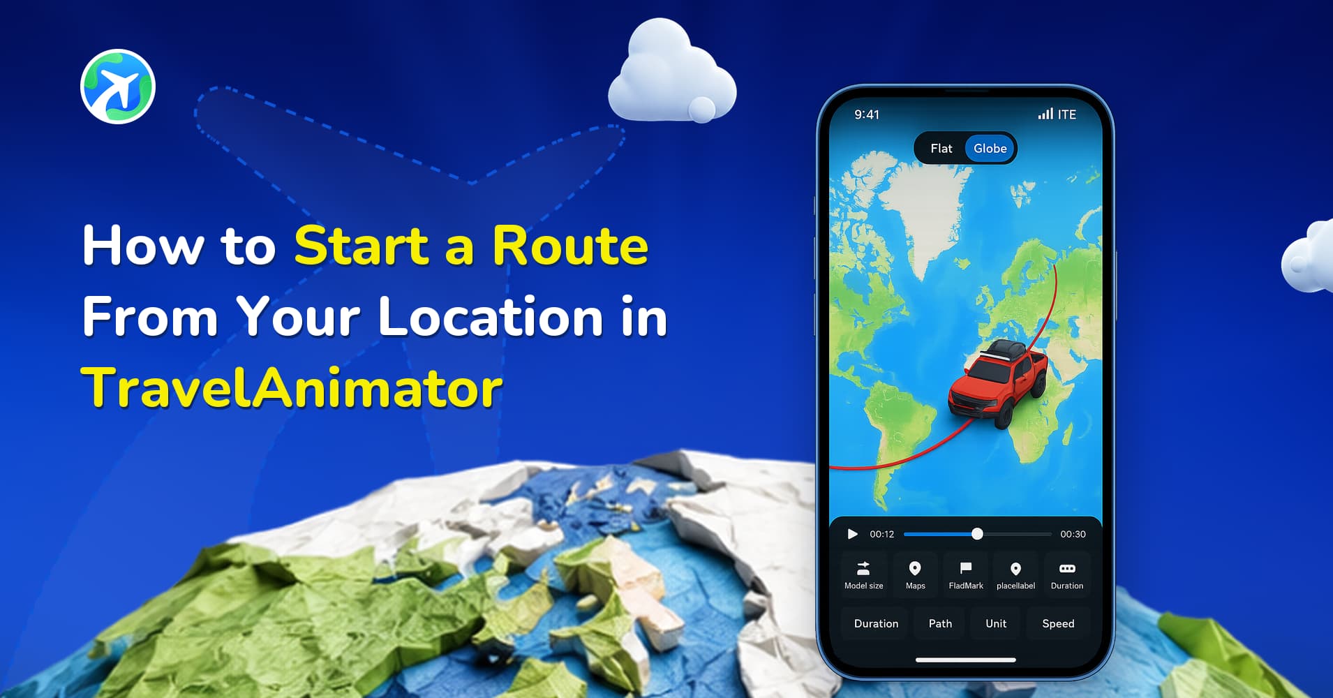
- Start creating your travel animation by choosing the destinations or uploading a GPX file of your travel route.
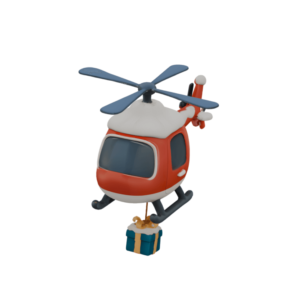
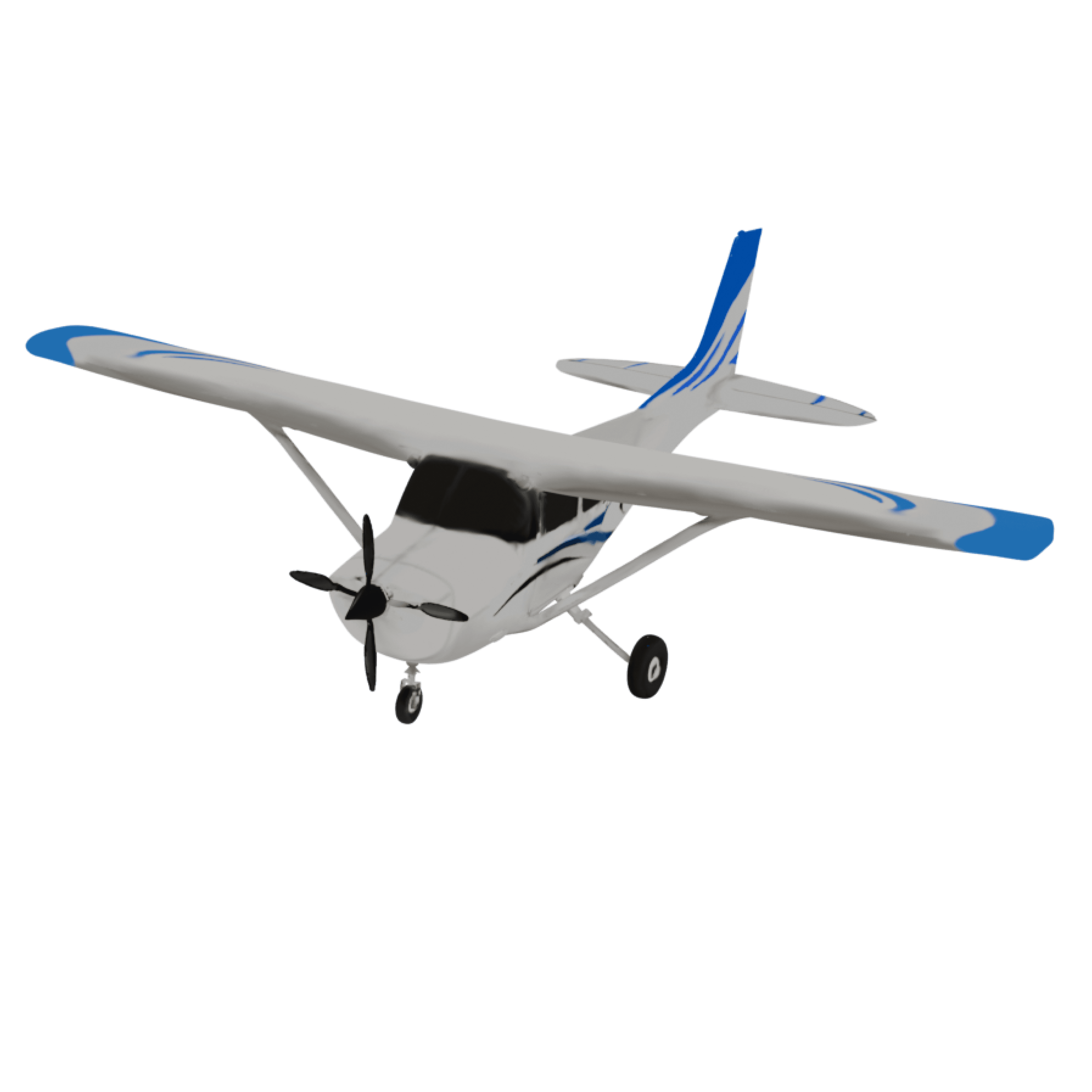
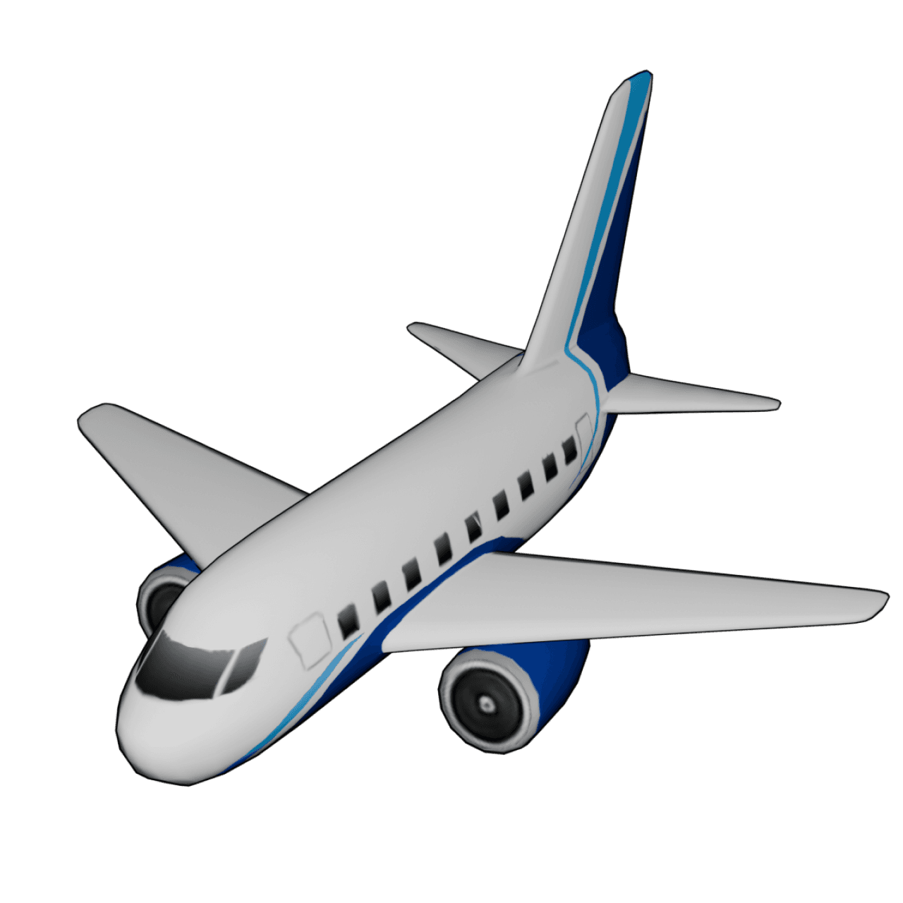
- Mark the points by tapping on the routes and choose the travel models you traveled by pressing the points for a long time.
- Add images and text that showcase your travel experience or destinations to personalize your video.
- Preview the video to adjust features such as video duration, model size, and showing distance.
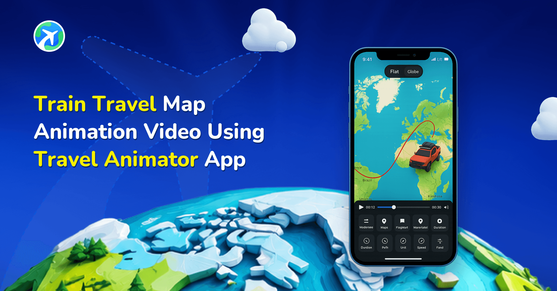
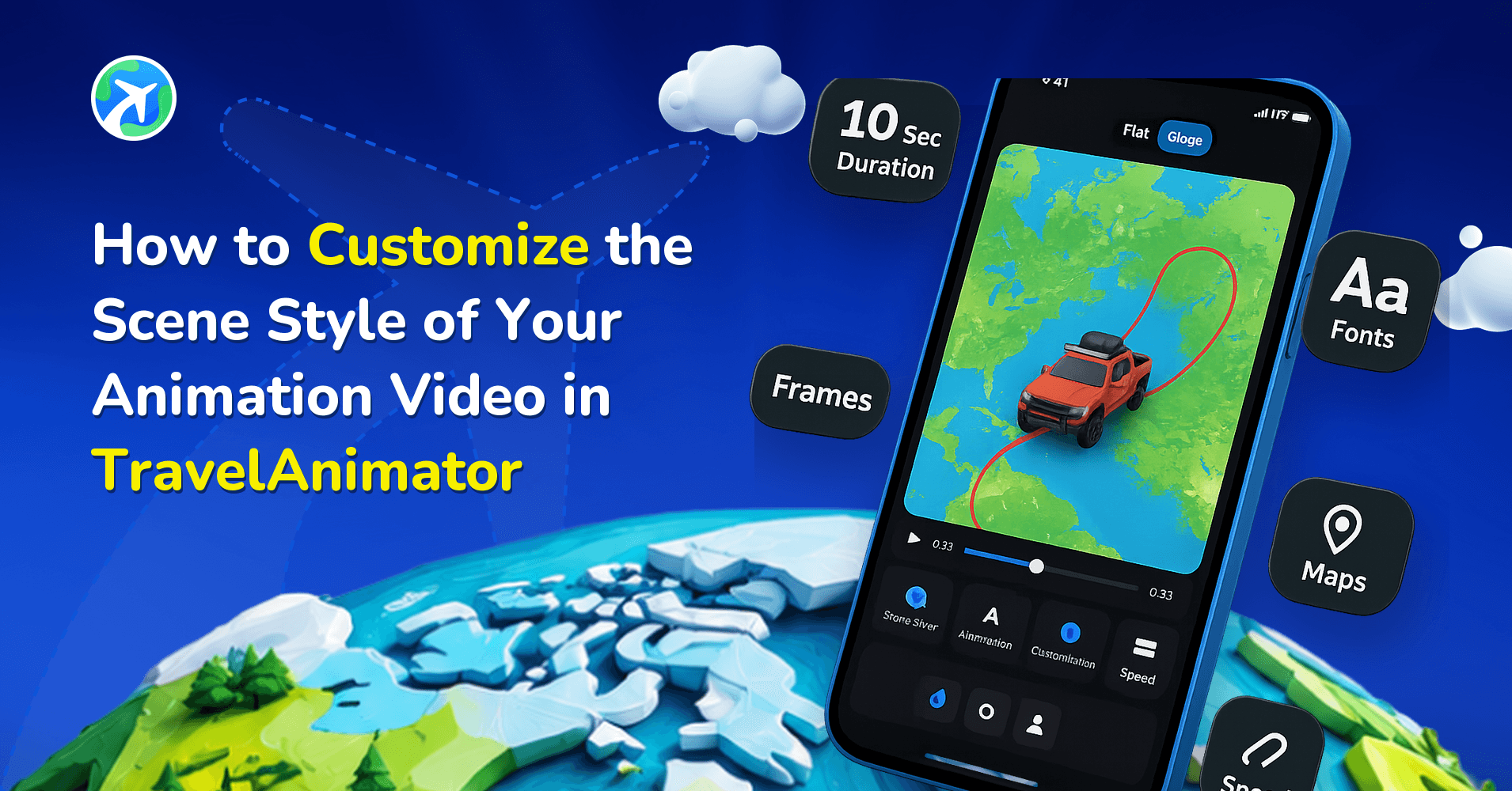
- Switch to 3D and choose the map that matches your travel theme from “Map style”. Only the Default 3D map is available in the free version. Upgrade to Travel Animator Pro to unlock all 3D map styles that suit your journey.
- Export the video in HD or 4K quality and download it to your device. You can directly share your travel videos on different platforms.
Some Use Cases of 3D Maps.
- Travelers who have taken the longest commercial flight can showcase their journey and the number of countries they visited in a single flight.
- YouTubers or content creators can use 3D maps to showcase their journey and increase the reach of the content on social media.
- Travel agencies and Tourist guides can use 3D maps to create eye-catching video content to showcase their travel plans and destinations, including images and text.
- Traveling with families can share their itinerary plans on social media to increase visibility.
- Showcasing adventure recaps, including routes, destinations, images, and texts, to make Instagram stories and WhatsApp statuses.
Features That Make Travel Animator User-Friendly
- Add destination points and stops efficiently by tapping on the route.
- Long-press on any point to open the model menu. You can choose different models for different destinations in a single video.
- Double-tap on the point to delete the stop or destination.
- Switching maps from 2D & 3D and different map styles in 1-2 clicks is easy.
- With just one click, you can adjust features like video duration, model size, country flag, etc..
- Download the video to your device by just clicking the Export video button.
Setting Up a Long Flight for the Globe
The globe earns its place on long flights, where the curve of the Earth makes the distance feel real. A few settings make the difference between a flight that feels epic and one that feels rushed.
- Arc. For a long-haul route like New York to London, drag the line into a wide curve. For an ultra-long-haul flight like Singapore to New York, keep it to one wide, single curve rather than a wobbly path.
- Duration. Around 12 to 20 seconds suits a long-haul flight, and 15 to 25 seconds suits an ultra-long-haul one. Shorter feels rushed. Much longer and the ocean crossing drags.
- Model size. A plane sized for a short hop looks toy-like when it crosses an ocean, so make it slightly smaller for long flights.
- Labels. Use “Singapore” or “SIN” rather than the full airport name. Long names are hard to read when the camera is pulled back.
Our flight path animation guide has a full table of settings by flight length.
When the Globe Is the Wrong Choice
Not every trip needs the whole planet. A one-hour hop like Kochi to Bengaluru looks zoomed-out and empty on a globe, and a city walking tour gets lost entirely. For short or local routes, a flat 2D map usually reads better because viewers can see the streets and stops.
Medium flights are the grey area. For something like Delhi to Singapore, preview it both ways and keep whichever version reads more clearly. If you stay in 3D but want more of the surroundings visible, try the 1x zoom in Scene Style. The Atlas style gives a flat, top-down overview if the globe feels like too much movement.
On the free plan you can use the Default 3D map. The other 3D map styles need Pro.
Are You Planning to Create Stunning 3D Animations?
Travel Animator offers various 2D and 3D maps for creating animated route videos. Upgrade the Travel Animator to the pro version to activate and use the different 2D and 3D maps. It unlocks all the map styles and travel models that suit the content theme. Travel Animator Pro also offers many advanced features, like exporting without watermarks with 4K quality exports to make the video professional.
Upgrade to Travel Animator Pro to explore these features and get more personalised content.
Frequently Asked Questions
What Are 3D Maps and Why Do They Matter?
3D maps are interactive digital maps that create a stunning globe view for your travel stories. They show routes and travel models visually engagingly on social media rather than 2D maps with a flat map.
How can I create a globe view with Travel Animator’s 3D maps?
Start creating your travel animation by choosing the destinations or uploading a GPX file of your travel route. Mark the points by tapping on the routes and choose the travel models you traveled by pressing the points for a long time. Add images and text that showcase your travel experience or destinations to personalize your video. Preview the video to adjust features such as video duration, model size, and showing distance. Switch to 3D and choose the map that matches your travel theme from “Map style”. Only the Default 3D map is available in the free version. Upgrade to Travel Animator Pro to unlock all 3D map styles that suit your journey. Export the video in HD or 4K quality and download it to your device. You can directly share your travel videos on different platforms.
When is a globe view useful for a travel story?
A globe view helps show the scale of long-distance or international journeys. Use a closer view when individual stops and local detail are more important.
How long should a globe-view flight animation be in Travel Animator?
As a starting point, give a long-haul flight like New York to London around 12 to 20 seconds, and an ultra-long-haul route like Singapore to New York 15 to 25 seconds. Shorter routes need less time. Adjust the video duration in Preview and watch the full animation, since the middle of an ocean crossing can drag if it runs too long.
Is the 3D globe view free in Travel Animator?
You can use the 3D globe on the free plan with the Default 3D map style. Other 3D map styles are part of Travel Animator Pro, along with 4K export and watermark-free videos. Switch to 3D in Preview and open Map style to see which options are available on your plan.