How to Create a Ship Travel Map Animation Using Travel Animator
 Jaseel S6 min read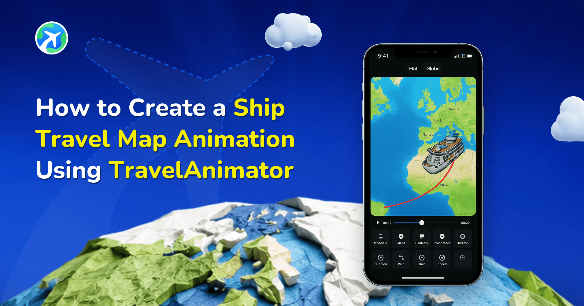
In this article 6 sections
With Travel Animator, you can turn your ship, cruise, or boat journey into a smooth, visually engaging animated map video that clearly shows the route, movement, and destinations across the water.
For more options, see compare ship travel map animation apps for a water journey.
Whether you’re documenting a cruise vacation, a ferry journey, a sailing route, or a professional marine plan, Travel Animator makes it simple to animate ship routes without technical complexity.
In this guide, you’ll learn what a ship travel map animation is, why animated routes are better than static maps, and how to create a ship travel map animation using Travel Animator step by step, with practical tips to make it look realistic and professional.
What Is a Ship Travel Map Animation?
A ship travel map animation is a visual representation of a journey made by ship, cruise, ferry, or boat, shown as an animated route on a map. Instead of showing only start and end points, the animation illustrates how the ship moves across the water, follows coastlines, and connects ports or destinations, with a visible route line, a moving ship or boat model, marked stops such as ports or islands, and optional labels and images.
A static screenshot only shows a line across water, with no sense of flow or direction. An animated route guides the viewer visually, makes it immediately clear the journey is marine rather than road or air, and performs better on social media by capturing attention and holding watch time.
Travel Animator supports this with flexible route-building, including searching locations, importing a GPX file, or pasting a Google Maps link, plus ship, boat, and cruise-style models, customizable route lines and map styles, and HD/4K export. It works entirely on mobile with no editing skills required.
Steps to Create a Ship Travel Map Animation in Travel Animator

- Start by opening the Travel Animator app and creating a new animation by adding routes. You can add your route by searching for port names, coastal cities, or islands, or by entering coordinates. If you already have route data, you can import a GPX file or paste a Google Maps link.
- Once the starting point and destination are added, the route line appears automatically across the map. For longer journeys, you can add multiple stops to represent ports, islands, or landing points.
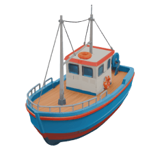
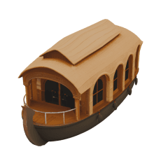
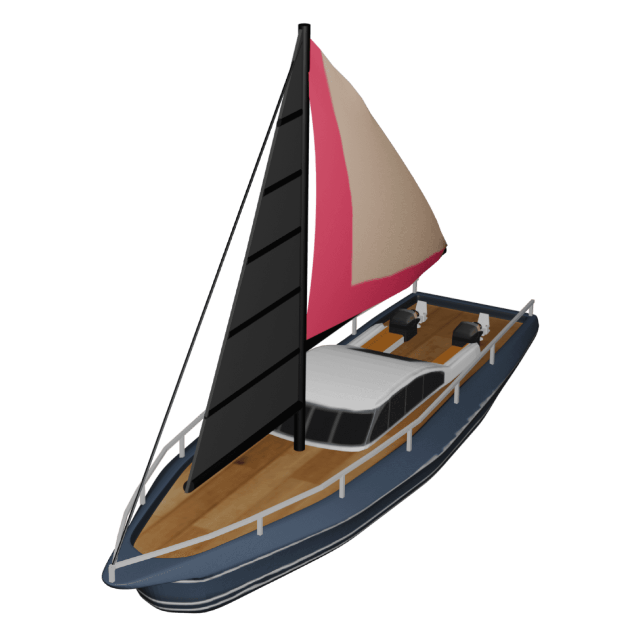
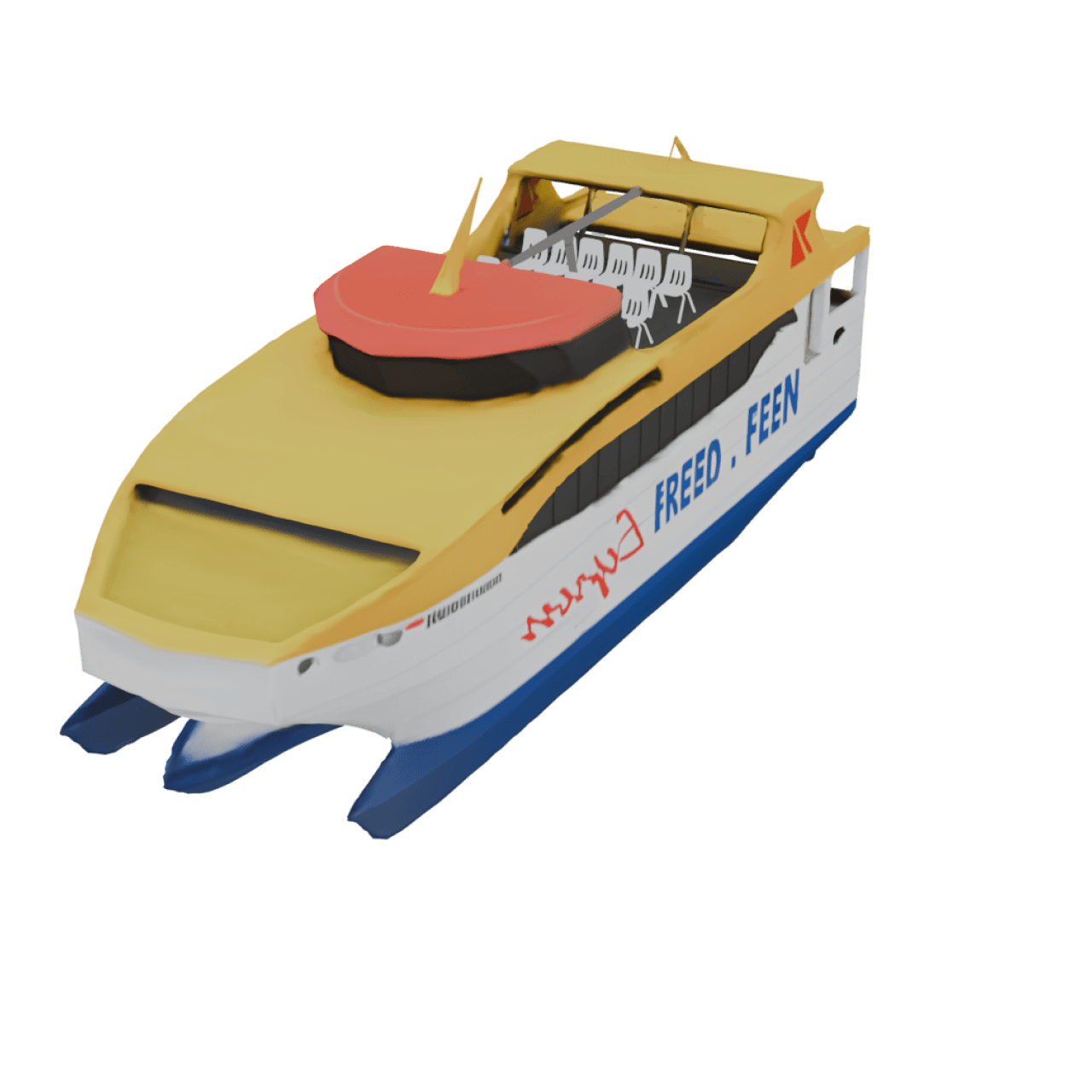
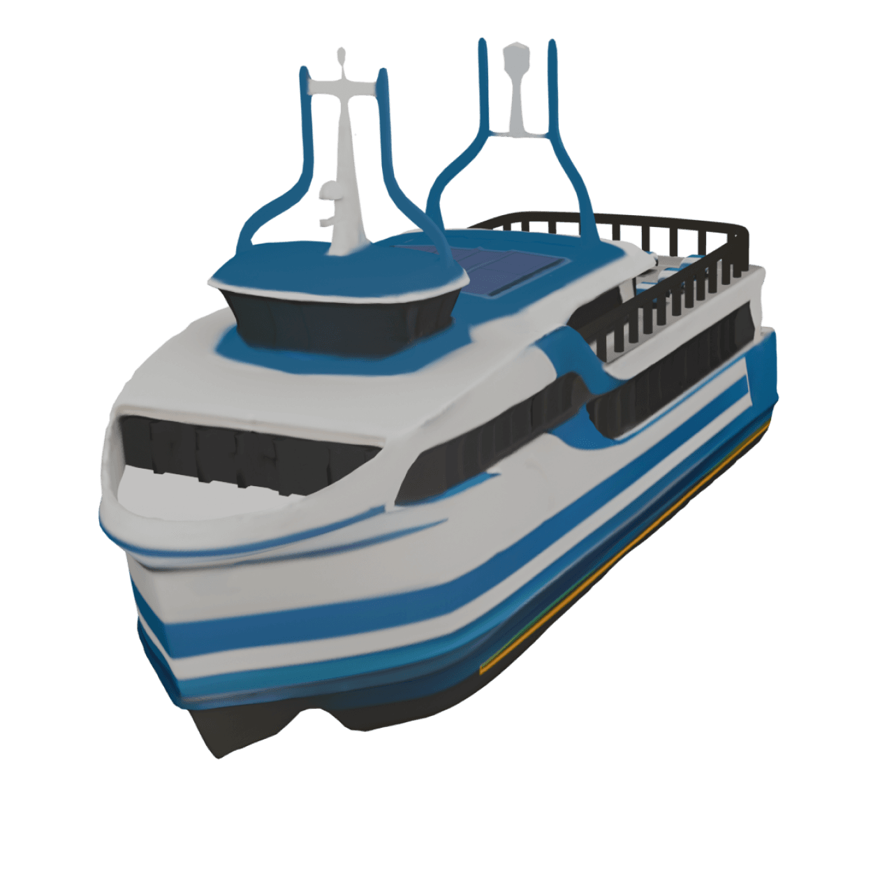
- Next, long-press the route point, then tap Change model. Choose a ship, boat, or cruise-style model that matches your journey. The selected model will move along the water path during the animation.
- Follow the same process for each stop or destination you need. Adding labels helps identify ports, while images can highlight landmarks or memories from each stop.
- After that, preview the animation using the preview button. This allows you to check route clarity and alignment.
- You can then customize the route by adjusting the path style, thickness, and color so it stands out clearly against the ocean background.
- Finally, choose the video ratio and map style, then export the animation in HD or 4K quality. Your ship travel map animation is now ready to share.
Best Map Styles for Ship and Cruise Route Animations
Clean, minimal styles keep the focus on water paths and movement, and dark or muted maps often make ocean routes stand out clearly. 3D globe maps work especially well for long-distance journeys like trans-oceanic cruises, helping viewers grasp scale and geography. Light-themed maps suit short ferry or coastal routes where simplicity matters more than drama.
Keeping Your Sea Route Off the Land
The most common problem with ship animations is a route that sails straight over land. Connect Barcelona and Venice with a direct line and your cruise ship cuts right across northern Italy instead of going around the boot. Viewers notice immediately.
The fix takes a minute. Tap the route line to add a point, then drag it out into the water. For Barcelona to Venice you’d want a few points: one off the south of Sardinia, one near the Strait of Messina, and one in the Adriatic. Zoom in while you place them so they don’t land on a coastline by accident, then zoom back out and check that the whole line stays at sea. Gentle curves look more natural than sharp corners, so space the points out rather than bunching them.
A few finishing touches suit marine routes especially well:
- A dashed route line reads clearly as a cruise or ferry path.
- Switch distance units to nautical miles if you show distance. See how to change units.
- The Marine map style uses a light, ocean-inspired palette made for waterways and coastlines.
Who Can Benefit from Ship Travel Map Animations?
- Ship travel animations are useful for a wide audience.
- Cruise travelers can document and relive their journeys visually.
- Content creators can introduce or recap videos with animated routes.
- Tourism boards can clearly promote cruise destinations and sea routes.
- Educators can explain marine geography and historical voyages.
- Businesses can visualize logistics and marine transport plans.
- Anyone looking to present a maritime journey clearly can benefit from animated ship routes.
Bring Your Sea Journeys to Life on the Map
With TravelAnimator, you don’t need technical skills or complex software to animate a ship route on a map. The app simplifies the entire process, from route creation to final export, while giving you enough creative control to tell your story visually. Whether you’re creating a cruise map animation, a boat route animation, or an animated map route for ship travel, TravelAnimator helps you transform your journey into a smooth, engaging visual story.
Download the TravelAnimator from the App Store or Play Store and start animating your ship journeys in a way that viewers can truly follow and enjoy.
Frequently Asked Questions
What Is a Ship Travel Map Animation?
A ship travel map animation is a visual representation of a journey made by ship, cruise, ferry, or boat, shown as an animated route on a map. Instead of showing only start and end points, the animation illustrates how the ship moves across the water, follows coastlines, and connects ports or destinations, with a visible route line, a moving ship or boat model, marked stops such as ports or islands, and optional labels and images.
How do I create a Ship Travel Map Animation in Travel Animator?
Add the ports or island stops in travel order, or import your route data. Long-press a point to choose a ship or boat model, add useful labels and photos, then preview the water route before exporting.
Who Can Benefit from Ship Travel Map Animations?
Cruise travelers can recap a voyage, creators can explain sea routes and travel businesses can present an island or coastal itinerary. Port labels and stop photos help viewers follow the journey.
How do I stop my ship route from crossing land in Travel Animator?
Add extra points on the route line and drag them into the water so the path follows the coast. Tap the line to create a point, then drag it off the land. Zoom in for precise placement, use a few well-spaced points for smooth curves, and preview the animation to confirm the ship stays at sea the whole way.
Can I show ship route distances in nautical miles?
Yes. On the preview screen, tap the Unit option near the export settings and switch between kilometers, miles and nautical miles. Nautical miles are the standard for maritime travel, so they’re a good choice for cruise, ferry and sailing animations. The displayed distance updates as soon as you change it.