Marine Map in Travel Animator
 Jaseel S7 min read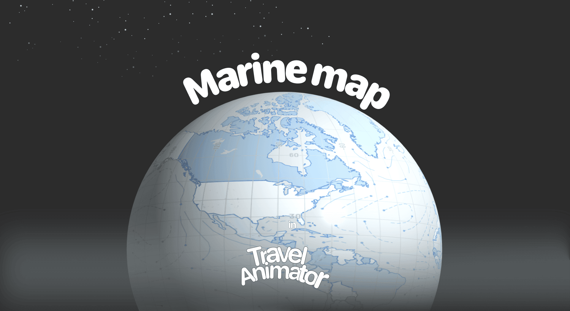
In this article 8 sections
Marine Map Style is released for travelers, creators, and professionals who need a visually accurate and engaging way to show water-based routes and destinations. From ocean voyages to island trips, it brings a marine touch to your animation.
For more options, see which apps support ship route videos.
Imagine you’re creating a travel video of a week-long sailing trip through the Maldives. You want to create a travel animation video that showcases the waterway, coastal landmarks, and key islands, not just to show your audience your journey, but to make them feel like they’re on a marine trip and understand the distance involved. You are looking for a perfect map style for your journey.
Explore the new Marine Map Style in Travel Animator, where and how to use it.
On land, the Military map gives the same clear, tactical read.
What Is the Marine Map Style in the Travel Animator?
The Marine Map Style is a newly released map that features a light, ocean-inspired color palette with clear maps and easy-to-read place labels. It’s ideal for sea-focused routes but still works beautifully for mixed land-and-water trips.
The map displays waterways, coastlines, and landmasses, allowing viewers to follow your journey without distractions. Whether you’re highlighting a winter journey, a cruise itinerary, or an adventure on an island, Marine Map makes the animation visually engaging and attractive.
Is the Marine Map Style Free or Premium?
The Marine Map Style is a premium in Travel Animator. But now it’s available for free for the first 30 days after the map is released. You have no access to other premium features through this offer.
By using the Marine Map style by subscribing to the premium, you will get access to every advanced feature. Use different premium travel models, 4K quality export without watermarks to make your animation more personalized and engaging.
How to Use the Marine Map Style in Your Project - Steps
- Open the Travel Animator App and sign in with an email address. It is mandatory to upgrade the App.
- Upgrade the app to Travel Animator Pro and start creating your travel animation video.
- Add destinations or stops, select suitable travel models, and add images and labels, if needed.
- After completing, preview the video to use the Marine Map style.
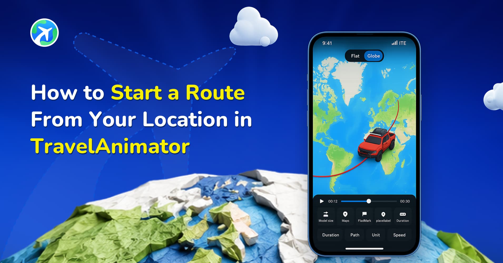
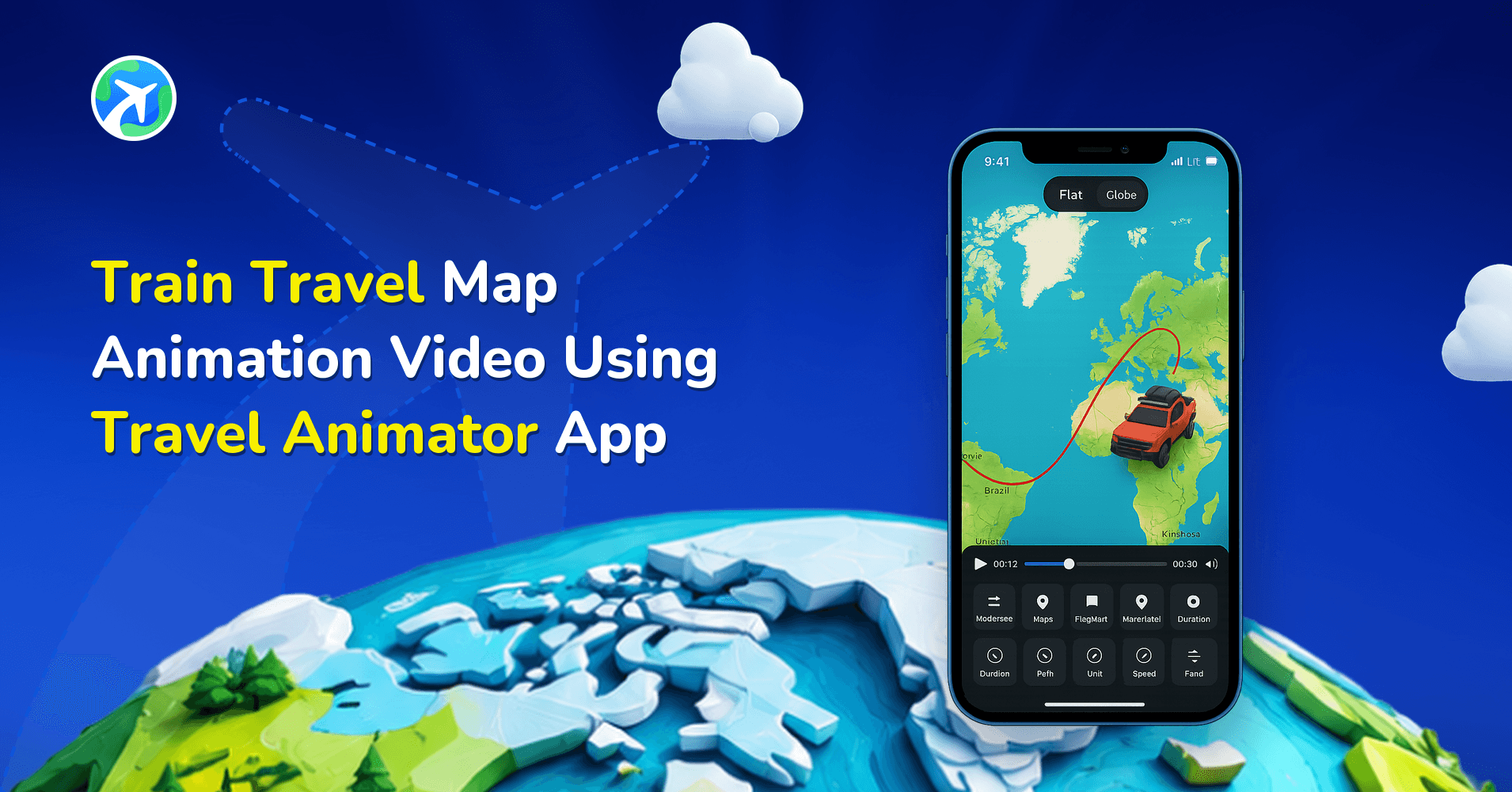
- Tap on the Map style and swipe right to find the Marine map.
- Tap and select to apply it.
- You can turn on/off the place labels to determine whether you want to display names on the map.
- Switch between 2D and 3D views as per your preference.
- Export your video in HD or 4K quality and share it directly from the app or your device.
Building a Sea Route That Looks Right on Marine
Marine makes water easy to read, which also means viewers notice quickly when a boat route does something a boat couldn’t. A few habits keep it believable.
- Add stops by port or island name. Search for Malé, Santorini or Kochi port rather than tapping roughly on the coast, so each leg starts and ends in the right place.
- Bend the line around land. A straight line between two ports can cut straight across a headland. Drag a point on that leg out to sea to curve the route around the coastline.
- Keep Real Routes for the land parts. Real Routes follow roads and rail, which suits the drive to the harbour, not the crossing.
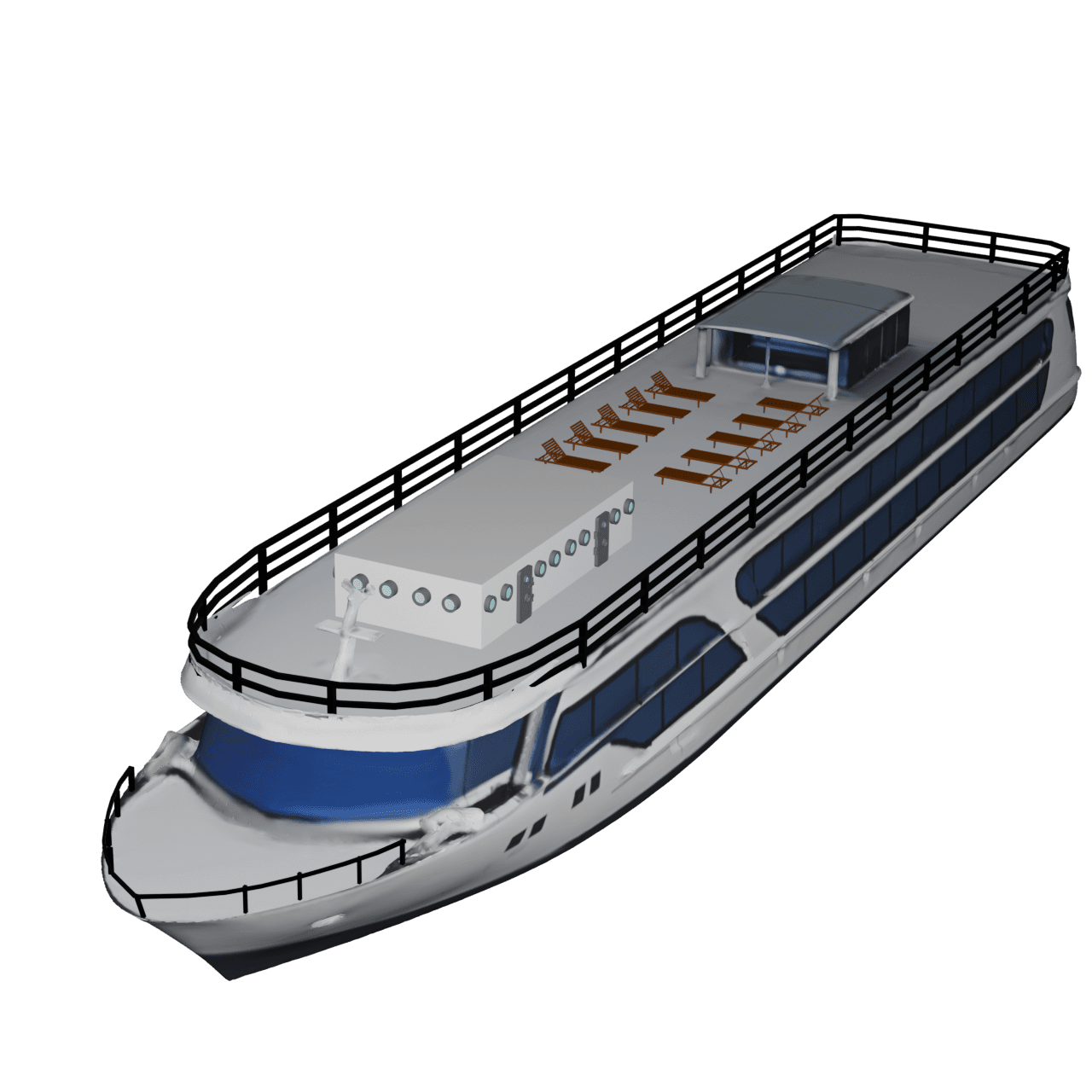
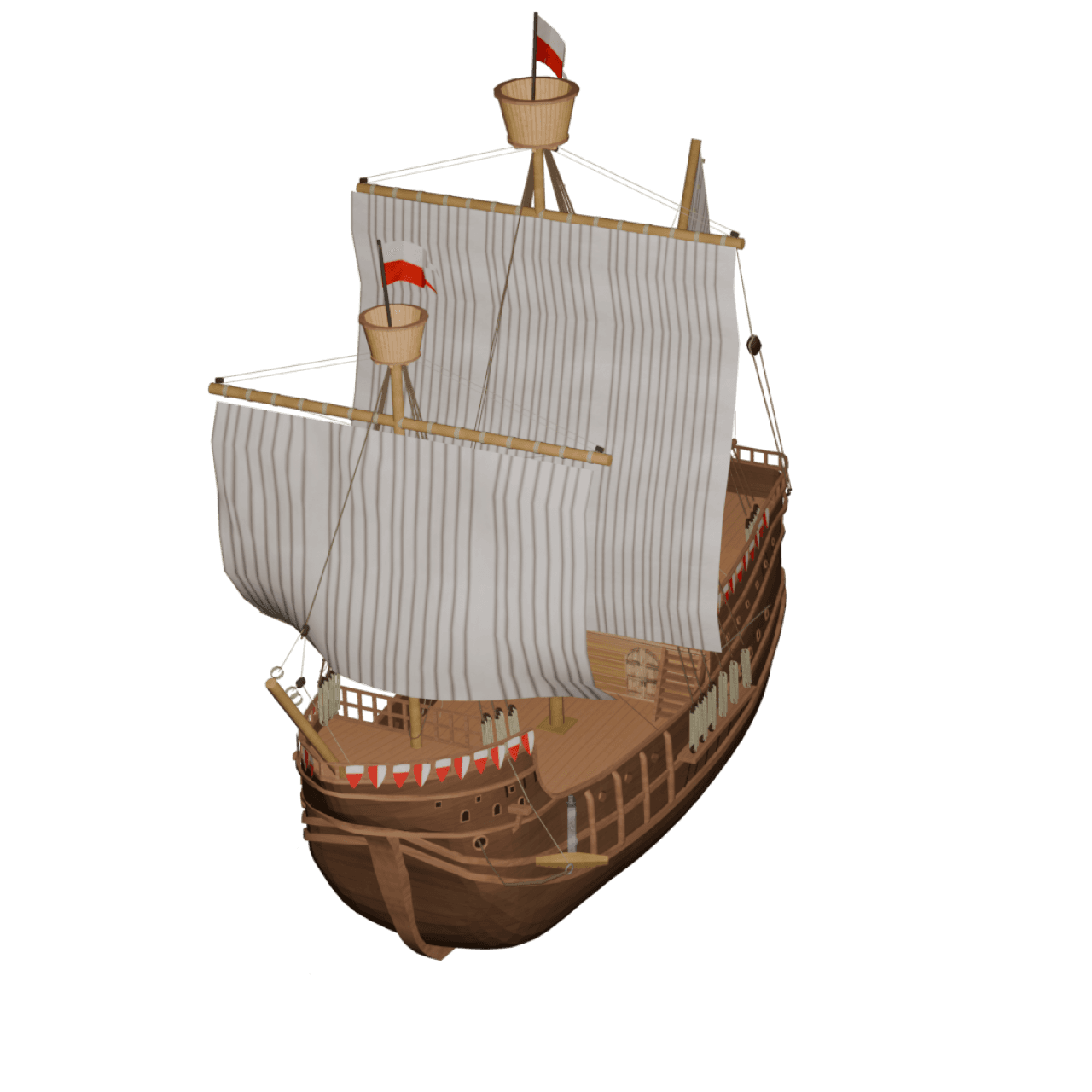
- Use a ship or boat model on water legs. Long-press the point where the sea section starts, tap Change Model and choose a ferry, cruise ship or boat. Switch back to a car or bus at the next port if the trip continues by road.
- Try a dashed line. Dashed paths read naturally as sea and flight routes. Pick a colour that stands out against Marine’s light blues; a pale blue line will vanish.
Use cases of the Marine Map Style in Travel Animator
- A cruise company can present routes from port to port using Travel Animator with Marine Map in the background. It offers a visually stunning and professional way to highlight essential stops along the way.
- For vloggers who need to animate a water-themed adventure experience, the Marine Map provides a clean background that helps viewers understand your route.
- Tourism businesses offering seaside destinations or guided island trips can use the Marine Map to visually represent travel paths in a way that attracts potential customers.
- If your business or personal projects focus on water sports or ocean exploration, plotting routes to dive sites, fishing spots, or sailing destinations can be particularly helpful. It gives viewers a better idea of the location and distance with a well-polished animation.
- Teachers or educational content creators can use Marine Map for educating about the ocean, shipping routes, or coastal geography. Its thematic design focuses on water-route-related features, making the students’ learning more engaging.
For a more playful sea route, try the Pirates map style.
Island Hopping and Cruise Itineraries: A Worked Example
Take a week of island hopping in the Maldives, like the trip in the introduction. Here’s how we’d shape it on Marine.
- Add Malé as the starting point, then each island in the order you visited.
- Change every water leg to a boat model so the transport matches the trip.
- Long-press each island and use Add Media to add one photo and a short caption. This also gives the animation a short pause at every stop, so viewers get time to look.
- Use the 3D view if the route covers a wide stretch of ocean, and 2D for tight clusters of islands where the shapes matter more.
- Turn place labels on if your islands are hard to identify by shape alone.
- Preview the full route and check that every leg stays in the water.
The same steps work for a cruise: ports in order, one strong image per port, and a duration long enough that the sea days don’t feel rushed. For more ideas, see our guide to ship travel map animations.
Why Choose the Marine Map Style for Your Next Video?
The Marine Map in Travel Animator is a storytelling tool specifically designed for any journey on water. Whether you’re mapping a cruise, promoting a coastal gateway, planning an adventure ocean trip, or teaching about marine navigation, this single style gives your animation an exact vibe. Utilize the 30-day free trial to confirm the route is perfect for your animation.
Frequently Asked Questions
What Is the Marine Map Style in the Travel Animator?
The Marine Map Style is a map that features a light, ocean-inspired color palette with clear maps and easy-to-read place labels. It’s ideal for sea-focused routes but still works beautifully for mixed land-and-water trips.
Is the Marine Map Style Free or Premium?
The article describes a 30-day introductory offer measured from the map’s release date, not a fresh trial for each user. Check the map’s current availability and access requirement in the app before using it.
Why Choose the Marine Map Style for Your Next Video?
The Marine Map in Travel Animator is a storytelling tool specifically designed for any journey on water. Whether you’re mapping a cruise, promoting a coastal gateway, planning an adventure ocean trip, or teaching about marine navigation, this single style gives your animation an exact vibe.
How do I stop my boat route from crossing land in Travel Animator?
Add a point on the leg that cuts across land and drag it out over the water so the path bends around the coast. Zoom in on the map first for finer control. If the route is long, add a second point rather than dragging one point very far. Preview the animation afterwards, since a path can look slightly different once it’s moving.
Can I show a ferry and a car in the same Marine map video?
Yes. Long-press the point where the transport changes and tap Change Model to pick a different vehicle for that part of the route. You can use a car for the drive to the port, a ferry or ship for the crossing and a car again afterwards. Marine shows both land and water clearly, so mixed trips read well on it.